About Selenge
Location and Geography
Selenge Province is located in the northern part of
Mongolia, occupying a region of medium-height mountains within the
Orkhon–Selenge river basin, the northwestern part of the province is
characterized by Jurassic sediment formations, the southern part by Hercynian
granite, and the eastern part by deep intrusive granite formations.
Population and Culture
Agriculture is well developed in this region, the area has a
rich historical and cultural heritage, including Hunnu-era stone statues,
burial mounds and khirigsuur structures, and the legendary “Buur Kheer” steppe
associated with Genghis Khan, it is also home to the sacred Buddhist
monastery Amarbayasgalant Monastery, one of the most important religious
and cultural centers in Mongolia, the province is also known as the cradle of
the People’s Revolution and Mongolian agriculture, giving it a deep historical
significance.
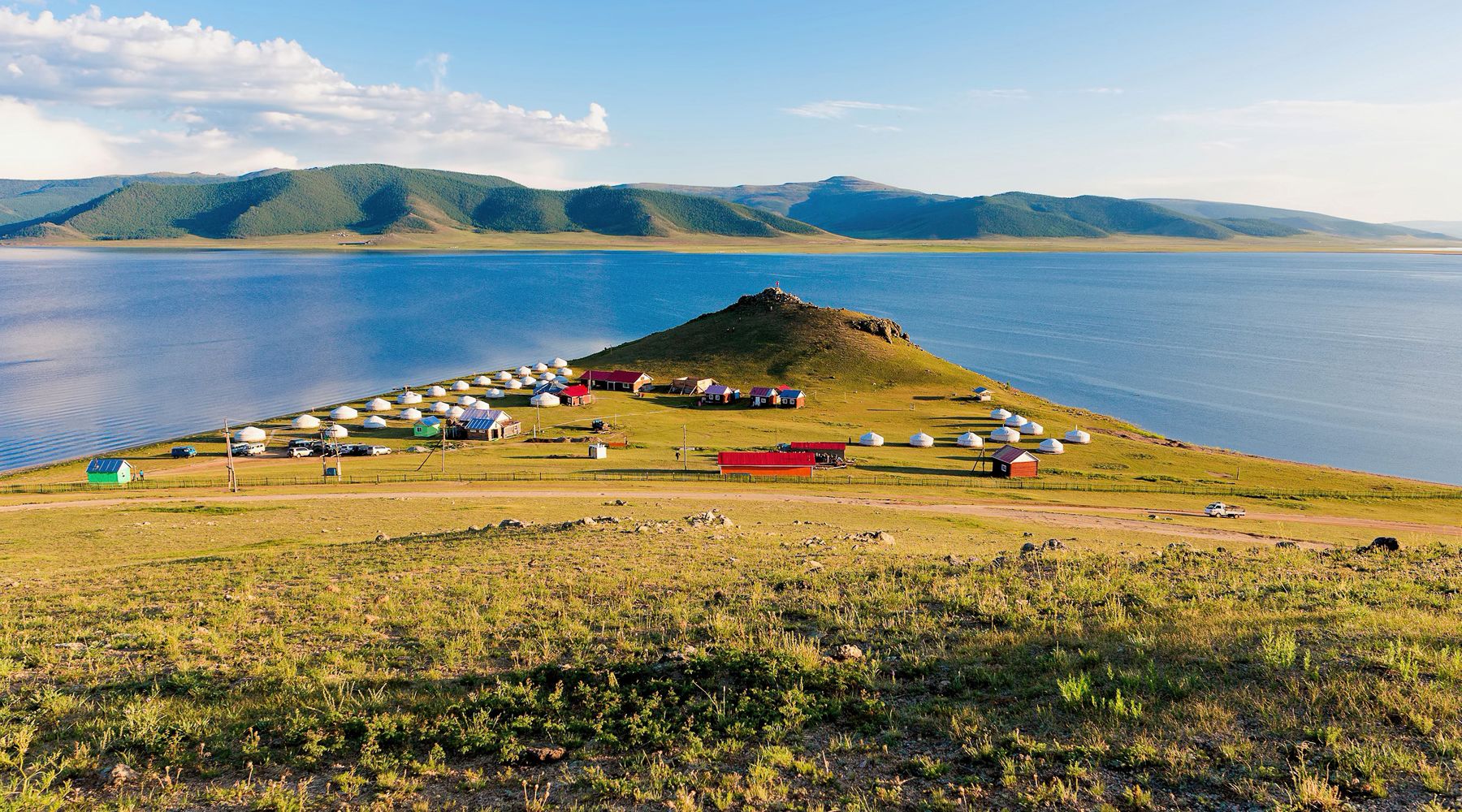
Natural Attractions
Selenge Province features several notable natural and
historical sites, including Amarbayasgalant Monastery, Soro(n)zon
Rock, Altanbulag, a historically significant settlement known as the
cradle of Mongolia’s revolution, hot springs, Tujin Nars National Park,
Duut Rock, Saikhan Pass.
