About Arkhangai
Location and Geography
Arkhangai Province has an average elevation of 2,414 meters
above sea level. Its highest point is Kharlagtain Saridag Mountain, reaching
3,539 meters, while its lowest point is the confluence of the Orkhon and Tamir
Rivers at an elevation of 1,290 meters. The province borders Khuvsgul Province
to the north, Bulgan Province to the east, Uvurkhangai Province to the south,
and Zavkhan Province to the northwest.
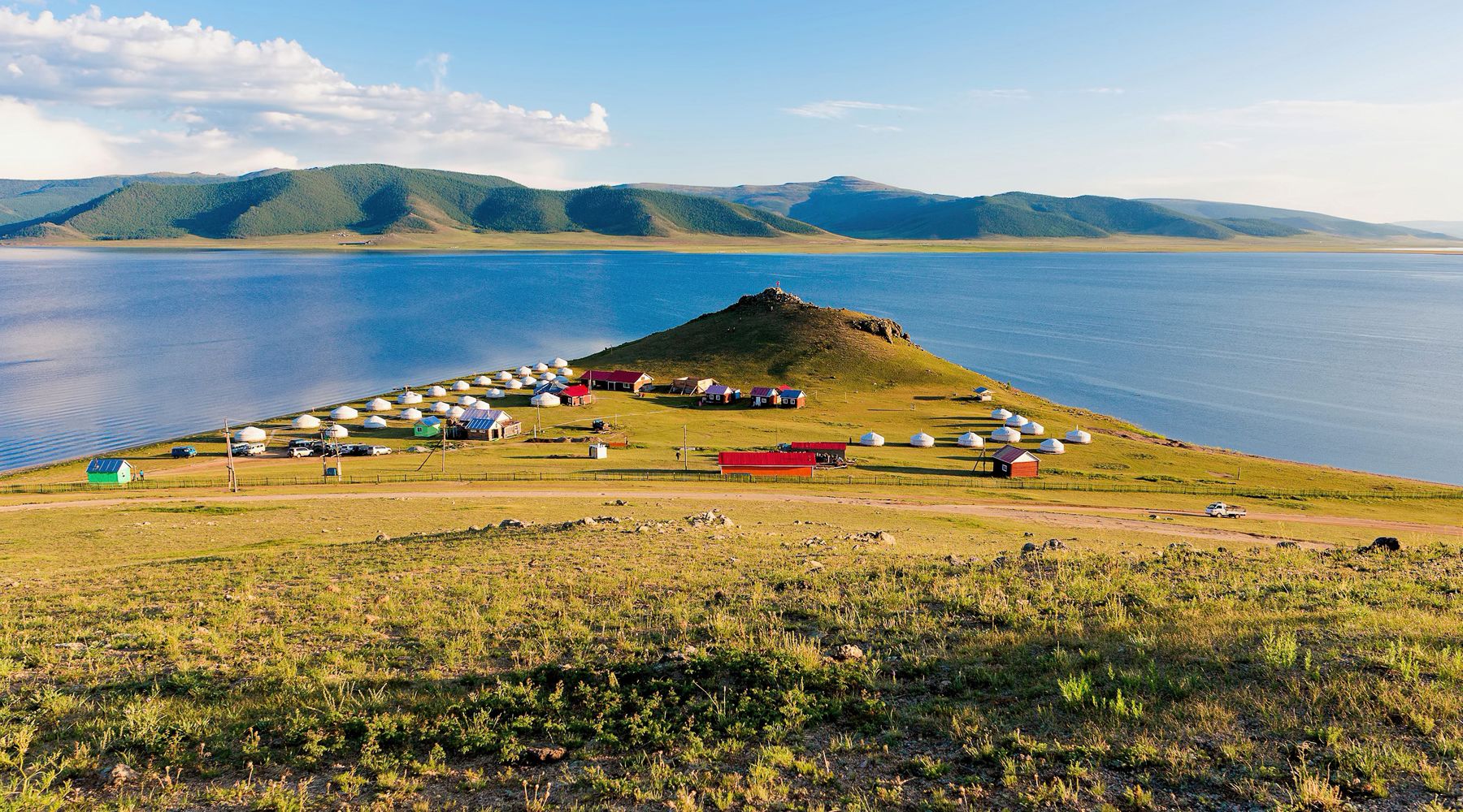
The region is dominated by the Khangai Mountain Range, one
of Mongolia’s most scenic and ecologically important areas, featuring forests,
rivers, valleys, and alpine landscapes.
Population and Culture
Arkhangai is rich in historical and cultural heritage. The
province contains numerous archaeological sites dating back to the eras of the
Xiongnu, Turkic, and Uyghur states, reflecting its long and significant role in
Mongolia’s history.
The provincial capital, Tsetserleg, has an average annual
temperature of approximately 0.1°C. January is the coldest month, with an
average temperature of -15.6°C, while July is the warmest, averaging 14.7°C.
The Khangai region is among the wettest areas in Mongolia, with Tsetserleg
receiving an average annual precipitation of 344 mm. The average wind speed is
2.6 m/s, with the strongest winds typically occurring in April at an average of
3.5 m/s.
Natural and Historical Attractions
Arkhangai Province is renowned for both its natural beauty
and its historical significance. In addition to archaeological monuments from
the Xiongnu, Turkic, and Uyghur periods, the province is home to important
Buddhist heritage sites.
Notable attractions include:
Tuvkhun Monastery, Karakorum Ruins, Scenic valleys, rivers,
and forests of the Khangai Mountains, Ancient archaeological and cultural
monuments throughout the province. With its stunning mountain landscapes,
rich nomadic traditions, and remarkable historical treasures, Arkhangai
Province is one of Mongolia’s most captivating destinations for cultural and
nature-based tourism.


